THE SIGNIFICANCE OF FLOODS IN TURKEY AND RELATED RESEARCH EFFORTS
Throughout history, natural disasters have caused irreparable human and material losses, with floods being among the most significant. While floods have inflicted substantial damage on humanity, implementing preparatory measures before such events can help mitigate potential harm. Moreover, these preventive actions can transform rainfall that typically results in surface runoff into a valuable resource.
Assoc. Prof. Dr. Redvan Ghasemlounia from Istanbul Gedik University’s Faculty of Engineering and Dr. Mustafa Utlu from Burdur Mehmet Akif Ersoy University have been conducting scientific research projects on flood-prone regions and basins with high flood potential in Turkey. Their findings have been published in leading international journals.
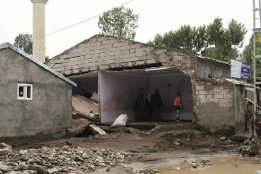
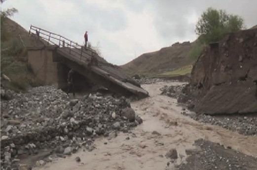
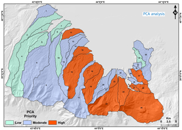
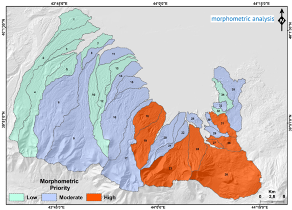
One of their notable studies in 2020 focused on drainage morphometry and prioritization of basin flood potential. The study selected 35 basins within the alluvial plain formed by the Aras River and its sub-basins in Iğdır Province, located in Turkey’s Eastern Anatolia Region. This area was chosen due to the occurrence of significant floods in recent years. Their research highlights the critical need for detailed assessments and targeted interventions to manage flood risks effectively.
By analyzing the data collected in this region, the prioritization of basins in terms of flood potential was conducted using two methods: Principal Component Analysis (PCA) and Morphometric Analysis. The results of the Morphometric Analysis indicated that 8 basins were classified as high priority, 17 basins as medium priority, and 11 basins as low priority. In contrast, the PCA results showed that 12 basins were of high priority, 15 were of medium priority, and 8 were of low priority. Assoc. Prof. Redvan Ghasemlounia emphasized that measures must be taken in areas identified with high flood potential based on the prioritization study results. He highlighted that implementing such measures in the region could reduce the loss of life and property caused by sudden torrential floods.
In another study conducted in 2021 by Assoc. Prof. Redvan Ghasemlounia and Dr. Mustafa Utlu, the Harşit River Basin, located in the Eastern Black Sea region of Turkey and encompassing the provinces of Giresun and Gümüşhane, was examined under flood risk. In this study, 20 different indices related to 26 sub-basins over an area of 10 square kilometers were considered, and the flood dynamics of the sub-basins were evaluated based on their morphometric characteristics. Assoc. Prof. Redvan Ghasemlounia and Dr. Mustafa Utlu emphasized that floods have had significant impacts in this region in recent years. In addition to using two different methods, they also employed the Redvan Priority Ranking Method (RPRM), a technique they developed. The flood priorities of the sub-basins were determined by evaluating each method independently.
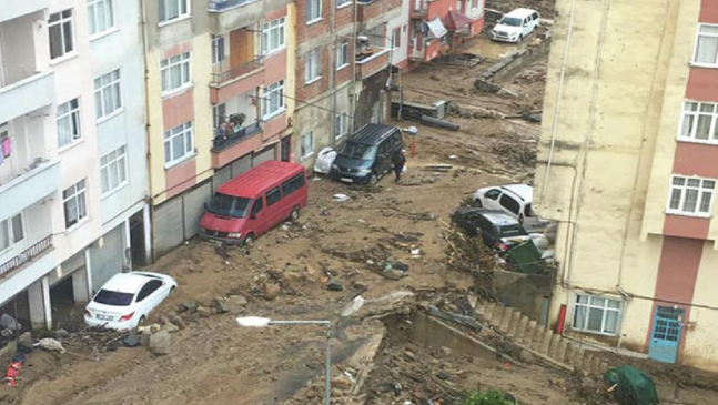
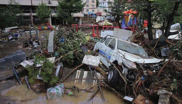
In the aftermath of the flood incident that occurred in Doğankent on August 5, 2020, the damage and losses were analyzed. As a result of this study, the findings obtained from morphometric parameters were evaluated using statistical techniques to determine flood priorities. Dr. Redvan Ghasemlounia and Dr. Mustafa Utlu emphasized the urgent necessity of implementing immediate measures in five sub-basins that consistently fell under the high flood risk potential category across the results of the three methods utilized in their study.
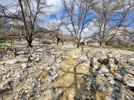
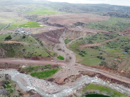
In May 2023, Assoc. Prof. Redvan Ghasemlounia and Dr. Mustafa Utlu initiated the first phase of the project titled “Flood Susceptibility Analysis in Şanlıurfa Province Based on Machine Learning and Different Statistical Methods,” supported by Istanbul Gedik University’s scientific research projects. As part of this project, they continue data collection and fieldwork with the help of Unmanned Aerial Vehicles (UAVs) in Şanlıurfa (Central) and surrounding areas, which experienced a major flood event on March 14–15, 2023, resulting in the loss of 18 lives and injuries to many others.
Assoc. Prof. Redvan Ghasemlounia emphasized that the risk and hazard maps derived from completed, ongoing, and future studies on flooding hold significant importance. These maps will aid public and other organizations in mitigating risks, preventing areas that pose threats to human life and infrastructure from becoming hazardous, and ensuring that necessary preventive measures are implemented.

